Trusted by....


























Datasets
MapStand’s global database includes 3 key topics: Power Infrastructure, Energy Transition, and Energy Infrastructure. Our datasets are updated several times a day from trustworthy sources, so you can rely on the accuracy of our data.

Power Infrastructure
Our global power infrastructure datasets give a comprehensive overview of electrification by tracking fossil-fuel sources of power - like coal, oil and gas- and electricity generated from renewable energy sources, like solar, wind, hydro and geothermal.
Key Power Infrastructure datasets include Power Cables, Substations, Renewable and Conventional Power Plants plus specialist wind datasets including Windfarms, Wind Turbines, Wind Development Zones, and Rounds.
Energy Transition
Delivering net zero will significantly increase electricity demand but will also require the decarbonisation of hard-to-electrify sectors and lower emissions associated with carbon-based fuels. This transition will involve the increased adoption of emerging technologies such as Hydrogen and CCUS (Carbon Capture Utilisation and Storage). Our Energy Transition datasets will allow you to track changes in the energy industry and gain a full overview of the sector as it evolves.
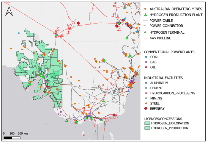
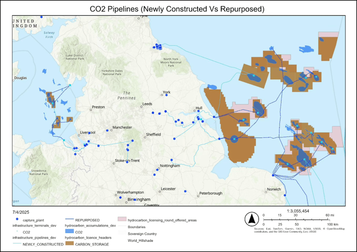
Key Energy Transition datasets include CCUS projects, Hydrogen Projects, Hydrogen Pipelines, CO2 Pipelines, CCS Licences and Hydrogen Storage.
Energy Infrastructure
Our upstream oil and gas geospatial layers provide full visibility of Oil and Gas exploration and production activities around the world.
Key Oil and Gas datasets include Blocks and Licences, Licensing Rounds, Accumulations and Prospects, Boreholes, Seismic Surveys, Pipelines, Terminals, Refineries, Rigs, Vessels and Platforms.
Get more from MapStand data
Explore our global energy data, access it in ArcGIS Online, and get specialist support to put it to work.

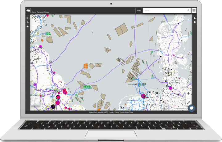
MapStand Platform — Free preview
Discover a free preview of MapStand’s global energy infrastructure datasets.
- Explore energy assets and projects on an interactive map.
- Browse available layers and asset information.
- Identify the data relevant to your regions and interests.

MapStand data in ArcGIS Online
Bring MapStand’s energy infrastructure data into your ArcGIS Online workflows.
- Access layers covering power, renewables, hydrogen, carbon capture, and oil and gas.
- Analyse MapStand data alongside your own spatial information.
- Support project screening, infrastructure planning and market analysis.

Custom workflow support and plugins
Get the most out of MapStand data with custom workflow support, integrations and plugins.
- Connect MapStand data with your existing tools and processes.
- Streamline repeatable data preparation and analysis.
- Work with us to develop tools tailored to your team’s needs.
VP of Project Development
Multi-Client Seismic Company
Partner
Oil and Gas Financial Advisors
Aker Carbon Capture
Build with MapStand
See how our partners integrate MapStand industry news & data in their applications.

IRIS by Vysus
IRIS offshore project management web applications developed by Vysus Group help bring offshore projects into focus and achieve the closest visibility to project status, progress and contractor performance


FlareIntel by Capterio
FlareIntel is a free and open-access digital tool that allows anyone to explore gas flares around the world.
Latest News